news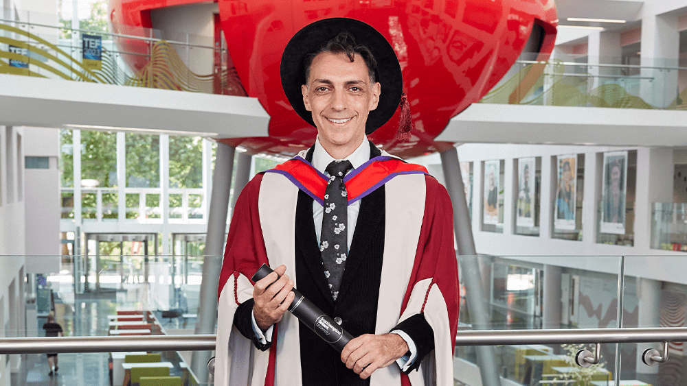
General
Honorary fellowship for arts icon
On Friday 11 July, Kerry Kyriacos Michael MBE became an Honorary Fellow at Southampton Solent University.
11 July 2025On Friday 11 July, Kerry Kyriacos Michael MBE became an Honorary Fellow at Southampton Solent University.
11 July 2025
Four class of 2025 graduates were nominated for the coveted CIMSPA Prize for Sport Coaching.
11 July 2025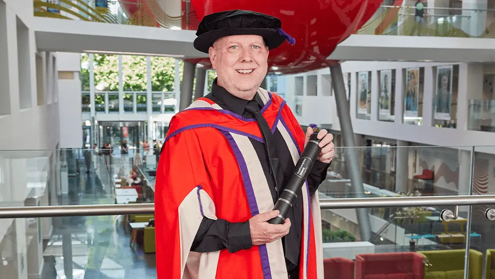
Dr John Flackett received an honorary doctorate during Southampton Solent University's 2025 graduation week.
10 July 2025
Positive NSS results for Solent see the university topping local charts in several key areas
9 July 2025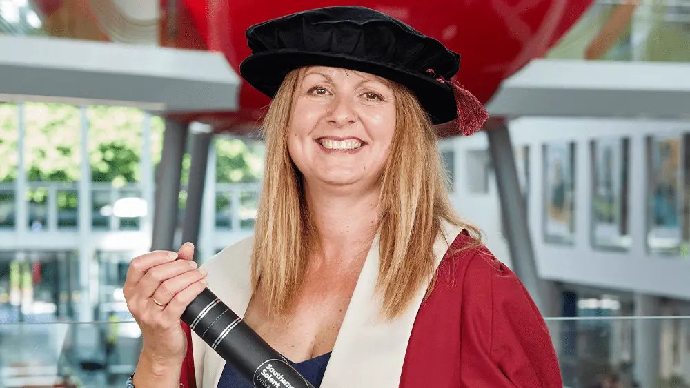
Dr Debbie Chase has been awarded an Honorary Fellowship.
9 July 2025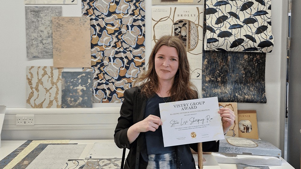
The 2025 winner of the Vistry Homes Award has been announced.
9 July 2025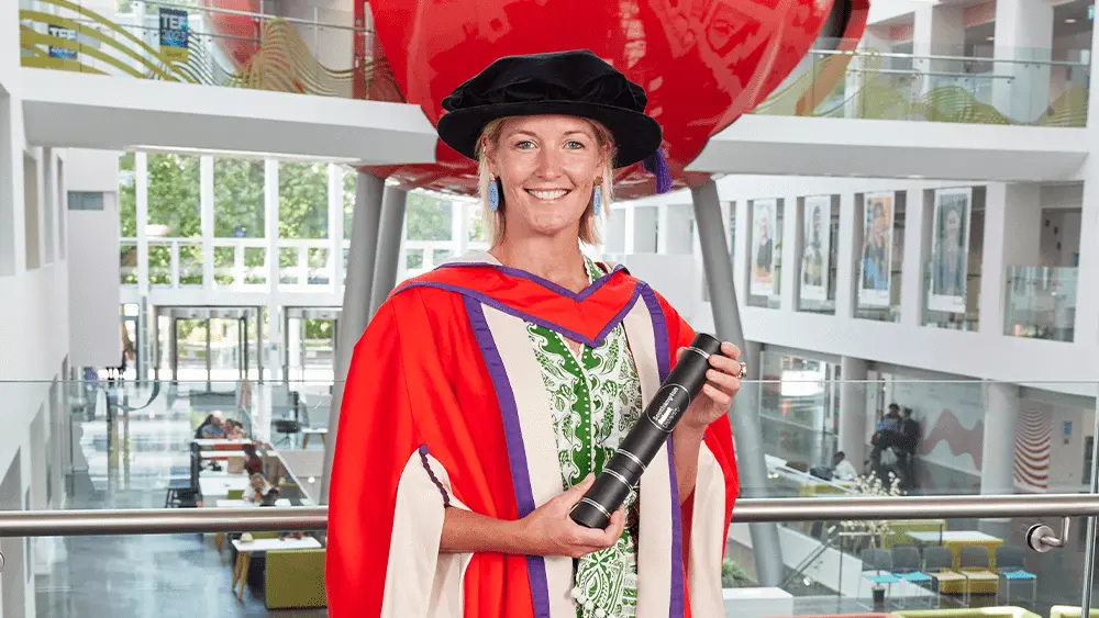
Inspiring justice system reformer, Lady Edwina Grosvenor has become an honorary Doctor of Law at Southampton Solent University.
9 July 2025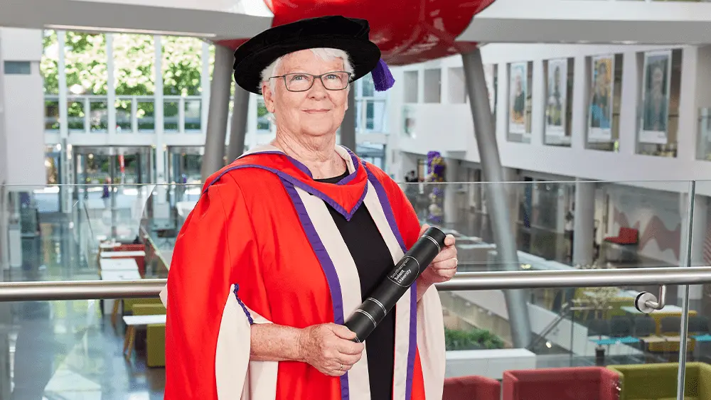
Professor Susan Roaf, a pioneer in solar energy, has become an honorary Doctor of Engineering at Southampton Solent University.
9 July 2025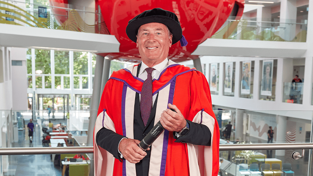
Southampton Solent University has recognised Philip Cotton with an honorary Doctor of the University.
8 July 2025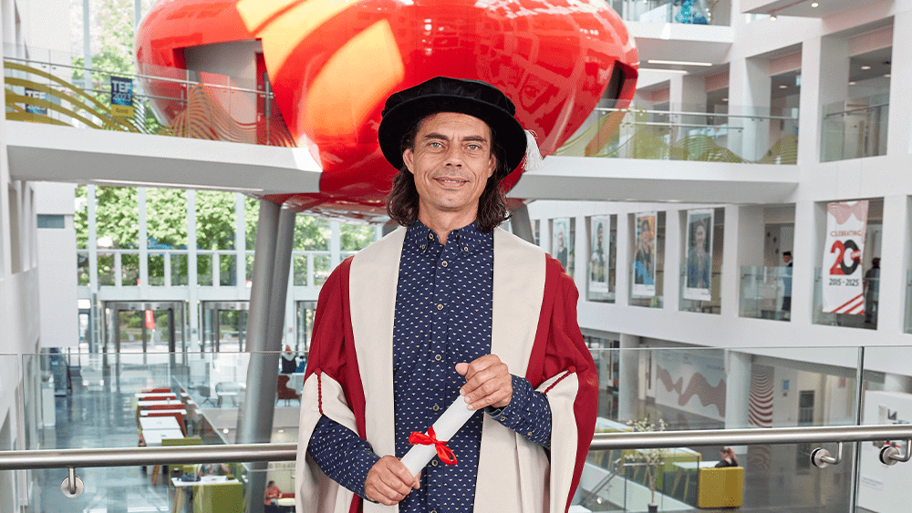
Daniel Crow has become an Honorary Fellow at Southampton Solent University.
8 July 2025
An inspiring Solent alumni has become an Honorary Fellow at the University.
8 July 2025
Experience life as a student at Solent at one of our on-campus or virtual undergraduate, postgraduate or maritime open days.
Find out more
BA (Hons) Fine Art graduate, Charlotte White, is the first winner of the Annabel Avison Prize for Exceptional Achievement in Fine Art.
8 July 2025
Southampton Solent University is collaborating with Communicare to develop a new evaluation method, informed by research.
7 July 2025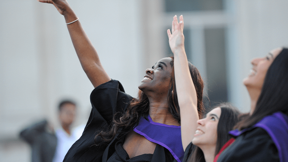
Southampton Solent University will celebrate graduands alongside their friends, family and peers.
1 July 2025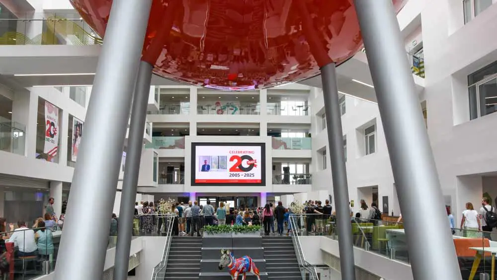
Solent marked 20 years of university with celebrations across campus.
26 June 2025